Thank you for your patience as we rebuild our website! 2020-2025

Recently Added Or Edited Entries

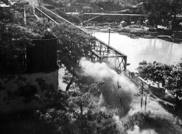
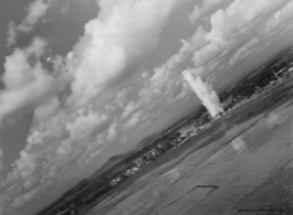
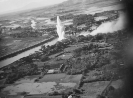
Bombing of Phy Ly railway bridge in French Indochina (Vietnam), during WWII. In northern Vietnam, and along a critical rail route used by the Japanese.
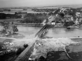
Bombing on Phu Lang Thuong railway bridge over the Thuong River at Bắc Giang City in French Indochina (Vietnam), during WWII. In northern Vietnam, and along a critical rail route used by the Japanese. Coordinates: 21°16'32.69"N 106°11'9.28"E This photo shows the truly extraordinarily low levels the bombing B-25s sometimes flew at times during missions. The plane is only feet above...
Bombing on Phu Lang Thuong railway bridge over the Thuong River at Bắc Giang City in French Indochina (Vietnam), during WWII. In northern Vietnam, and along a critical rail route used by the Japanese. Coordinates: 21°16'32.69"N 106°11'9.28"E
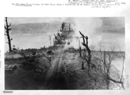
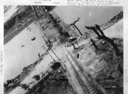
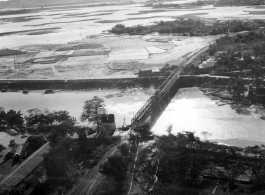
March 5, 1945 bombing by the 341st Bombardment Group, 22nd Bombardment Squadron, on Phu Lang Thuong railway bridge over the Thuong River at Bắc Giang City in French Indochina (Vietnam), during WWII. In northern Vietnam, and along a critical rail route used by the Japanese. In this image the bridge is finally broken, and the two water towers are completely...
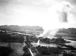
March 5, 1945 bombing on Phu Lang Thuong railway bridge over the Thuong River at Bắc Giang City in French Indochina (Vietnam), during WWII. In northern Vietnam, and along a critical rail route used by the Japanese. In this image there are bombs in the air, and the two water towers are completely gone. "This was only one of the...
Bombing on Phu Lang Thuong railway bridge over the Thuong River at Bắc Giang City in French Indochina (Vietnam), during WWII. In northern Vietnam, and along a critical rail route used by the Japanese. Coordinates: 21°16'32.69"N 106°11'9.28"E