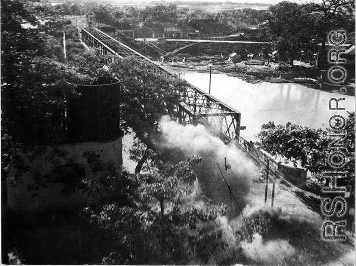
Bombing on Phu Lang Thuong railway bridge over the Thuong River at Bắc Giang City in French Indochina (Vietnam), during WWII. In northern Vietnam, and along a critical rail route used by the Japanese.
Coordinates: 21°16'32.69"N 106°11'9.28"E
This photo shows the truly extraordinarily low levels the bombing B-25s sometimes flew at times during missions. The plane is only feet above the tops of the trees and the tops of the two water towers (on the left).
